Lens AI
Lens Physical — Aerial Intelligence

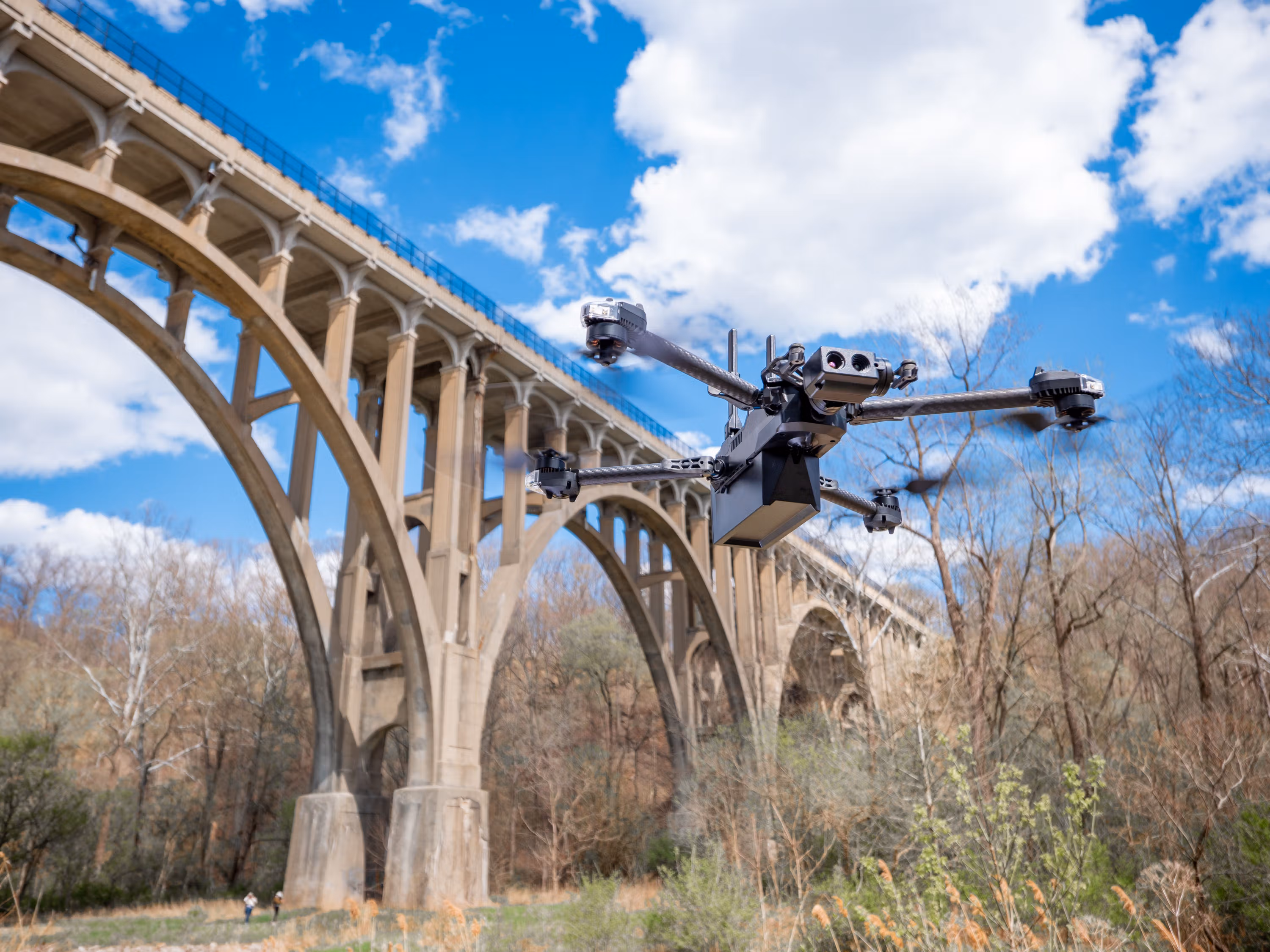
Your drones collect data.
Lens makes them think.

AI software for your existing fleet — your drones understand, judge, and act without adding headcount.

Scroll
0new hardware needed
10xfaster site insights
24/7autonomous judgment
-80%manual review time
The Gap

Drones are everywhere.
Brains aren't.

Your fleet flies daily. Without a brain, every flight is just raw footage.

Drone without brainWithout Lens
Drone with brainWith Lens
Without a Brain
Fly1 hr
Transfer2 hrs
Review2 hrs
Report1 hr
Total: 6 hours per inspection
562Hours
Manual Review Wasted
2,841GB
Raw Data Dumped

Your most expensive resource — human attention — is wasted.

VideoThermalRGBLiDARTelemetry
SIGNALS IN → INTELLIGENCE OUT
Lens P.BrainThe Agent Brain for Your Fleet
ObserveFuse all sensors
ReasonJudge & decide
ActExecute autonomously
LearnImprove every cycle
With the Brain
0Human in the Loop
Fully Autonomous
10ms to decision
Re-routes autonomously
Auto-triaged & reported

Same drone, same flight — now it understands what it sees

Industries

Wherever drones fly,
Lens closes the judgment gap.

Your drones already capture the data. Lens adds the intelligence.

Construction site monitoring
Construction
Site Progress & Safety

Compares aerial footage against BIM in real time. Flags delays, PPE violations, and unauthorized access.

Terrain surveying and mapping
Surveying & Mapping
Intelligent Terrain Survey

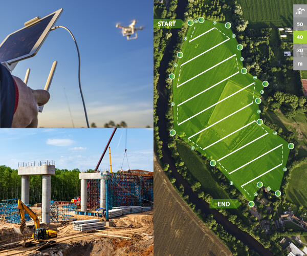
Re-prioritizes scans by terrain complexity. Auto-reflies areas that need more detail.

Infrastructure inspection
Infrastructure Inspection
Anomaly Detection & Triage

Detects cracks, corrosion, and thermal anomalies. Prioritized maintenance list before landing.

Energy and utilities monitoring
Energy & Utilities
Solar & Wind Monitoring

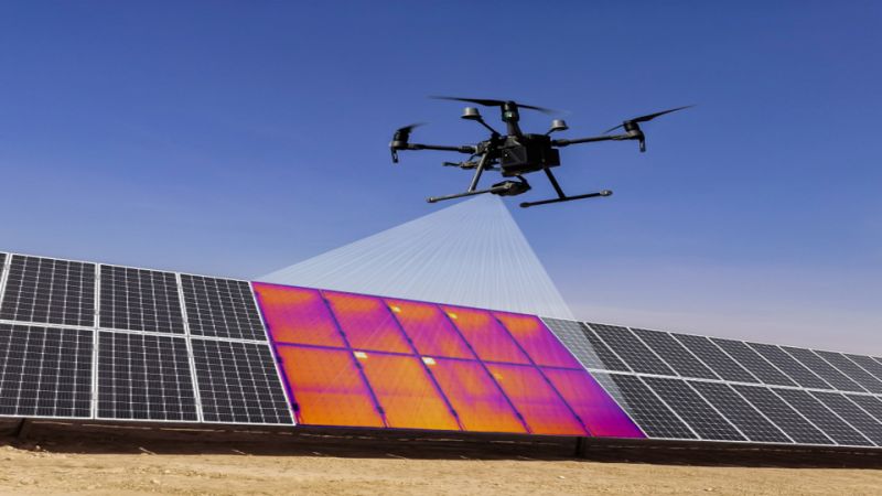
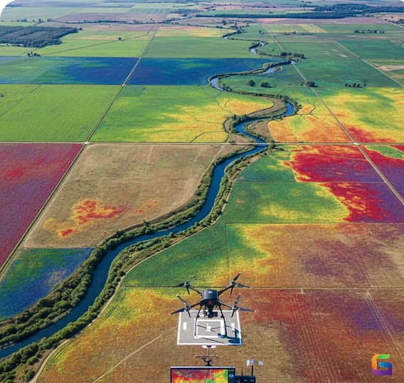
Correlates thermal data with power output. Work orders ranked by revenue impact.

Agent Brain Architecture

Perceive. Reason. Act. Learn.
Always running.

Standard drones follow waypoints. Lens Drone runs an Agent Brain — making judgment calls in real time, not just flagging anomalies.

1
Perceive
2
Reason
3
Act
4
Learn
5
Improve
continuous reasoning loop
01
PerceiveRGB, thermal, LiDAR, multispectral — fused into real-time 3D scene understanding.
RGBThermalLiDARMultispectral
02
ReasonCross-references your BIM, schedule, and specs — then judges what actually matters.
Site PlansSchedulesComplianceJudgment
03
ActRe-routes, triages by severity, updates the digital twin, alerts the right person — no human in the loop.
Re-routeTriageDigital TwinAlerts
04
LearnGets smarter every flight — learning your site, your equipment, your standards.
MemoryFeedbackValidationPolicy
05
ImproveContinuous self-improvement — operational memory, feedback loops, and policy refinement.
OptimizationAdaptationEvolutionRefinement
Platform Capabilities

Six Layers of Aerial Intelligence.

Software, not hardware. Plug Lens into your existing drones.

01
Real-Time Scene Understanding

Know what the drone found while it's still flying.

02
Multi-Modal Sensor Fusion

RGB, thermal, LiDAR, multispectral — unified into one model.

03
Adaptive Mission Replanning

Finds something unexpected? Auto-adjusts the flight path.

04
Severity-Based Triage

Every finding ranked by urgency and business impact.

05
Digital Twin Integration

Flight data auto-syncs to your digital twin in real time.

06
Hardware Agnostic

Works on any compatible UAV. Bring your own drones.

LENS.DRONE
Ecosystem
Partner with Lens AI

You bring the fleet.
We bring the brain.

Pure software, zero new hardware — Lens Drone integrates into your existing operations with no workflow disruption. Let's talk about your fleet.

SYS.VERSION // 4.2© 2026 LENS DRONE